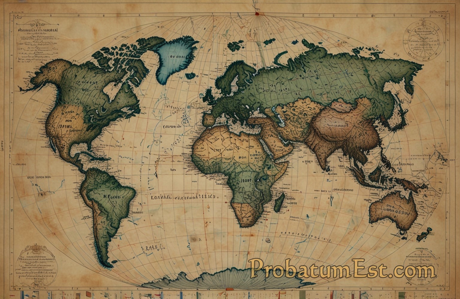
The concept of longitudes is fundamental to our understanding of geography and navigation. These imaginary lines, running from the North Pole to the South Pole, play a significant role in determining time zones, geographic positioning, and navigation. As we delve into the fascinating world of longitudes, we uncover their historical evolution, scientific importance, and practical applications in modern society.
Defining Longitudes
Longitudes, also known as meridians, are imaginary lines that extend from pole to pole, perpendicular to the equator. Each line of longitude is part of a great circle, bisecting the Earth into two equal halves. The starting point for measuring longitude is the Prime Meridian, designated as 0° longitude, which runs through the Royal Observatory in Greenwich, England. From there, longitudes are measured in degrees east or west, up to 180°.
Historical Context and Evolution
The understanding and use of longitudes have a rich historical context dating back to ancient civilizations. Early astronomers and geographers, such as Ptolemy, laid the groundwork for latitude and longitude concepts. However, it wasn’t until the 18th century that the problem of determining longitude accurately at sea was addressed effectively. The introduction of the marine chronometer by John Harrison in the mid-1700s revolutionized navigation, allowing sailors to determine their east-west position accurately.
Scientific Importance
Longitudes are essential to Earth’s coordinate system, which also includes latitudes. This system helps us pinpoint any location on the planet with precision. The Earth rotates 360° in approximately 24 hours, meaning it rotates 15° every hour. Therefore, each degree of longitude corresponds to a time difference of four minutes. This relationship forms the basis for the establishment of time zones and the universal standard of time measurement.
The Prime Meridian and Time Zones
The Prime Meridian at Greenwich was established as the international standard at the International Meridian Conference in 1884. This event set the scene for the creation of time zones, a crucial development in global synchronization of time.
Longitudes help divide the Earth into 24 time zones, each roughly 15° of longitude apart. While political and practical considerations sometimes alter these boundaries, the principle remains that local time changes by one hour for each 15° of longitude east or west of the Prime Meridian.
Navigation and GPS
In the modern era, longitudes are indispensable for navigation, especially since the advent of the Global Positioning System (GPS). GPS relies on a network of satellites to provide precise positional data, using longitudes and latitudes. This technology has transformed navigation in aviation, marine, and even everyday aspects such as driving, enabling users to pinpoint locations accurately and efficiently.
Geopolitical and Cultural Implications
Beyond scientific and navigational utility, longitudes have geopolitical and cultural significance. The delineation of borders and territorial waters often relies on precise longitudinal and latitudinal coordinates. Cultural perceptions of time also intersect with longitude, affecting international business, travel, and communication.
Furthermore, the concept of the International Date Line, which also follows the general path of the 180° longitude, underscores how longitudinal divisions can influence global day-to-day chronology and cultural practices.
Challenges and Considerations
Despite their clarity, longitudes introduce challenges, particularly near the poles where lines converge, complicating navigation and mapping. Moreover, the irregularity of Earth’s surface means that longitudinal measurements can be influenced by the planet’s shape and gravity anomalies, requiring sophisticated geodetic systems for precise calculations.
Conclusion
Longitudes, as integral components of the Earth’s geographic coordinate system, are indispensable to understanding our world. From their historical development to their scientific, navigational, and cultural significance, longitudes play a critical role in how we perceive and interact with our planet. As technology evolves, the precision and applications of longitudinal data continue to deepen, highlighting the enduring relevance of these imaginary yet profoundly impactful lines. Whether in everyday navigation or the broader management of global time, longitudes remain at the heart of how we organize our world.




Leave a Reply