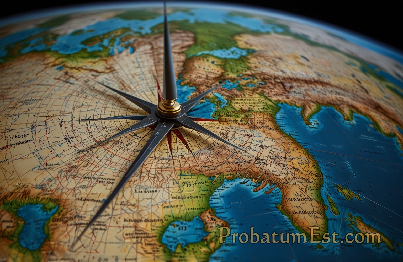
The concept of latitude forms the backbone of the global navigation system, one that has guided explorers since ancient times, assisted in territorial delineation, influenced climate study, and even found its place in modern GPS technology. In this article, we delve deep into the nature of latitudes: what they are, their historical significance, their role in the geospatial sciences, and how they affect our lives today.
Basics of Latitude
Latitude is an integral component of the coordinate system used to uniquely identify positions on the Earth’s surface. Alongside longitude, latitude delineates the grid-like structure upon which maps and navigation systems are based. Latitude lines, or parallels, run horizontally around the Earth parallel to the equator, which serves as the prime latitude.
The Equator
The equator is the zero-degree latitude line, bisecting the Earth into the Northern Hemisphere and Southern Hemisphere. It is the longest circle of latitude and equidistant from the North Pole and South Pole. The significance of the equator extends beyond geographical demarcation; it is crucial in dividing the planet into climatic zones and is pivotal for calculating solar insolation and consequently, energy balance on Earth.
Measuring Latitude
Latitude is measured in degrees (°), from 0° at the equator to 90° at the poles. Lines of latitude north of the equator are designated as degrees north (°N) and those south as degrees south (°S). Each degree of latitude corresponds approximately to 111 kilometers (69 miles) on Earth’s surface, making it remarkably useful for global positioning.
Historical Context and Development
The concept of latitude has ancient origins, with roots in early astronomical observations. Ancient Greek scholars, such as Hipparchus in the 2nd century BC, were among the first to develop sophisticated methods for estimating latitude. They used celestial cues, such as the angle of the sun at noon or the position of the North Star (Polaris) in the northern hemisphere, to ascertain these measurements.
With the advent of the magnetic compass and further developments by explorers and cartographers, understanding and utilizing latitude became essential for navigation and map-making during the Age of Exploration. Notable figures, like Claudius Ptolemy, expanded upon earlier work to refine the geocentric worldview using latitudinal data.
Significance in Geospatial Science
Modern geographic and geospatial technology have taken the basic principles of latitude and integrated them into sophisticated positioning systems. Understanding latitudes is imperative in the realms of geography, meteorology, climatology, and environmental science.
Climate and Weather Patterns
Latitude substantially influences climate zones. The Earth receives solar energy unevenly, due in part to the tilt of its axis. As a result, the equator enjoys consistent, direct sunlight year-round, leading to tropical climates, while the poles receive less intense solar radiation, creating polar climates. These variations give rise to distinct ecological environments, as well as the distribution of flora and fauna.
As one moves away from the equator towards higher latitudes, climatic conditions differ markedly, affecting agriculture, biodiversity, and human habitation. Understanding these patterns is crucial for addressing climate change, as shifts in latitude-related climate zones may predict environmental transformations.
Cultural and Economic Implications
Latitude’s impact goes beyond physical geography; it influences cultural and economic activities. Historically, civilizations developed patterns of life that align with their climatic zones, affecting agriculture, settlement, and lifestyle. For instance, equatorial regions might focus on different crops and agricultural methods compared to temperate latitudes.
In contemporary times, latitude continues to impact economic planning and development. For example, latitude-specific weather patterns must be considered in urban planning and infrastructure development to mitigate the risks of natural disasters or seasonal weather effects.
Latitudes in Navigation and Technology
The inception of GPS technology has its roots embedded in the understanding of latitude and longitude. Satellites utilize these coordinates to provide precise navigation details, enabling everything from global telecommunications to personal device applications like Google Maps.
Modern Cartography
Latitude remains a crucial factor in modern cartography — the science of map-making. Accurate mapping of geographical features relies on a precise understanding of latitude coordinates. Moreover, GIS (Geographic Information Systems) and remote sensing technology are heavily reliant on latitude as a core datum point for spatial analysis.
Conclusion
The exploration of Earth’s latitudes offers a profound insight into the interconnectedness of our planet’s geographical, climatic, and human systems. They are more than mere lines on a map; they carry historical, scientific, and practical significance that underscores many parts of daily life. As technology advances and our ability to understand complex geospatial data enhances, the foundational role of latitude continues to be as relevant as ever—guiding us through the uncharted waters of the future.
The study of latitudes is thus a journey through time and place, fundamentally shaping our interaction with the world. Whether for understanding climate patterns, navigating the seas, or developing new technologies, latitudes continue to be an invaluable tool in mastering the art and science of geography.



Leave a Reply